
A camera on the ground can only show a buyer, tenant, or customer what’s directly in front of it. A drone camera thirty, sixty, or two hundred feet in the air shows something different: how a property sits on its lot, how close it is to water, how much land actually surrounds it, and how it fits into the neighborhood or commercial corridor around it. That context is often what turns a passive scroll through listing photos into genuine interest.
This article is for homeowners preparing to sell, real estate agents building out a listing package, and business owners who want to show their property, campus, or storefront in a way standard photography doesn’t cover. It walks through what Aerial Photography Services in Wilmington, NC actually captures, which types of Wilmington properties benefit most, how it works alongside ground-level photography rather than replacing it, and what to do to get the most out of a shoot – including a few local factors, like coastal weather and nearby airspace, that affect how and when a flight can happen.
What Aerial Photography Actually Shows That Ground-Level Photos Miss
A standard listing photo answers the question “what does this room, this facade, or this yard look like?” An aerial photo answers a different question: “where is this, and what’s around it?”
From altitude, a single image can show:
- The full footprint of a lot, including boundaries that are hard to communicate with a ground shot or a plat map alone
- Proximity to water – a creek, marsh, the Cape Fear River, or the Intracoastal Waterway – which is a major selling point for many Wilmington properties
- The layout of outdoor features like pools, docks, detached garages, outbuildings, or large backyards that don’t fit into a single ground-level frame
- Roof condition, which matters for both real estate marketing and general property documentation
- How a property relates to nearby roads, schools, shopping, or green space
- The overall scale of a commercial property, industrial site, or multi-building campus that can’t be captured from the parking lot
None of this replaces a well-composed interior or exterior photo. It adds a layer of information that ground photography structurally cannot provide, because a camera at eye level can’t show you the view from above.
Common Uses for Aerial and Drone Photography in the Wilmington Area
Aerial photography isn’t a single-purpose tool. Different property types and different goals call for different approaches.

Residential Real Estate Listings
For a home sale, aerial images are typically used as a small set of supporting shots within a larger listing package – usually a wide establishing shot of the property and lot, sometimes paired with a straight-down “map view” shot that shows the parcel boundaries clearly. These work well for homes on larger lots, homes near water, homes in neighborhoods with notable layouts (cul-de-sacs, golf course frontage, waterfront access), and homes where the yard or outdoor space is a selling point.
Commercial and Business Properties
For a business, an aerial image communicates scale and location in a way a storefront photo can’t. A single aerial shot can show a full retail center, an office park, a warehouse and its loading area, or a restaurant with its outdoor seating and parking layout. This is useful for marketing materials, websites, investment or leasing packages, and general brand photography that needs to show “this is where we are and how big it is.”
Waterfront and Coastal Properties
Wilmington’s geography – the Cape Fear River, the Intracoastal Waterway, marshland, and nearby beach communities – means a meaningful share of local real estate has some relationship to water. Aerial photography is particularly effective here because it can show a dock, a private water access point, the distance to the nearest public water access, or how a property’s shoreline compares to neighboring parcels. These are details buyers actively look for and that ground photography alone struggles to convey.
New Construction and Development Progress
For builders and developers, aerial photos and periodic aerial imagery can document a project’s footprint, grading, and progress over time in a way that’s useful for marketing, stakeholder updates, or simply keeping a visual record of a build.
Property Types That Benefit Most From an Aerial Perspective
Not every property needs aerial photography, and a straightforward interior/exterior photo package is often sufficient on its own. Aerial images tend to add the most value when one or more of the following applies:
- The lot is large, irregularly shaped, or has features spread across the property
- The property borders or is near water
- The property’s location relative to the surrounding area is a selling point (proximity to downtown Wilmington, a particular school district, or a shopping corridor)
- The property is commercial, agricultural, or industrial and its scale matters to the audience
- The home or building has a distinctive roofline, layout, or outdoor amenity that’s hard to photograph from the ground
- The marketing goal includes showing the property “in context,” not just in isolation
For a smaller in-town lot with limited outdoor space and no notable surrounding features, a full aerial package may add less value than the same budget spent on additional interior photography or a twilight exterior shot.
How Aerial Photography Works Alongside Traditional Photography
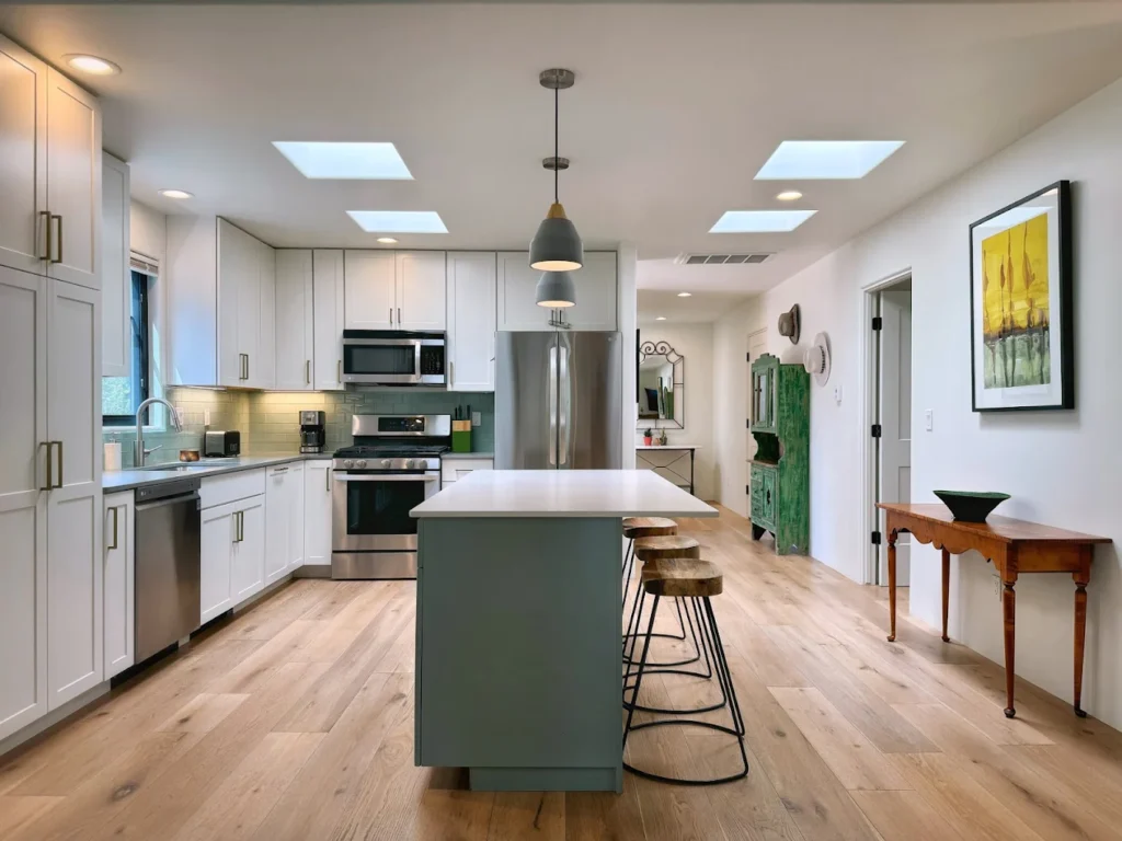
Aerial photography is a complement to ground-level and interior photography, not a replacement for it. A buyer researching a home still wants to see the kitchen, the primary bedroom, the bathrooms, and the finishes up close – none of which a drone can capture. The aerial shots typically serve as a small number of supporting images within a broader photo set: enough to establish context and scale, without dominating the gallery.
A typical real estate photography package pairs interior and exterior ground photography (the bulk of the images a buyer will actually study) with a handful of aerial shots (used to establish location, lot size, and surroundings). For commercial or business photography, the ratio shifts depending on the goal – a business that wants to highlight its facility size or location might lean more heavily on aerial imagery, while one focused on showing its interior space or team would use it more sparingly.
What Affects the Quality of Aerial Images Around Wilmington
A few local and practical factors influence how and when aerial photography can be done well in this area.
Weather and Coastal Conditions
Coastal North Carolina weather is changeable. Wind, cloud cover, and storm systems – including the seasonal risk of tropical weather – all affect whether a drone flight is possible on a given day and how the resulting images look. Flat, even light on an overcast day can actually work well for real estate photography, while high wind can make a flight unsafe regardless of how clear the sky is. Anyone scheduling an aerial shoot should expect some flexibility around timing, particularly during storm season.
Tree Cover and Property Density
Much of Wilmington has mature tree cover, which can be an asset (shade, privacy, curb appeal) but also a factor in how a property is framed from above. A skilled operator adjusts altitude and angle to work with tree cover rather than let it obscure the parts of the property that matter most.
Airspace Considerations Near ILM
Wilmington International Airport (ILM) sits within the greater Wilmington area, and FAA airspace rules apply to drone operations near any airport, not just directly over the runway. Properties closer to the airport or other restricted airspace may require additional flight planning or authorization before a drone can legally fly there. This is a background factor most property owners never need to think about directly, but it’s part of why aerial photography for certain locations takes a bit more coordination than others.
Preparing a Property for an Aerial Photo Session
A few simple steps ahead of a scheduled flight make a noticeable difference in the final images.
- Clear vehicles and equipment from driveways, yards, and any area that will be visible from above
- Mow and tidy the yard a day or two before the shoot, the same way you would before ground-level exterior photos
- Put away trash cans, hoses, toys, and pool equipment that would otherwise show up clearly in a top-down shot
- Check for anything on the roof – tarps, debris, or equipment – since aerial shots often highlight roof condition
- Confirm the shoot window with some flexibility, since coastal weather can shift a scheduled flight time
- For commercial properties, coordinate with staff or tenants if the shoot will involve flying over an active parking lot or work area
What to Look for When Reviewing Aerial Photography
Not all aerial images are created equal. A few things separate genuinely useful aerial photography from images that just happen to be taken from a drone:
- Resolution and clarity – images should hold up when viewed at full size, not just as a small thumbnail in a listing
- Composition, not just altitude – a good aerial shot is framed deliberately to show what matters (the water access, the lot lines, the building layout), not just pointed straight down from a fixed height
- Color and exposure consistency with the rest of the photo set, so the aerial images don’t look like they belong to a different shoot
- A mix of angles – a straight overhead shot serves a different purpose than an angled shot that shows the property alongside its surroundings, and a strong package usually includes both
Aerial Photography vs. Drone Video: Which Do You Need
Aerial photography and aerial video solve different problems. Photography works well for listing platforms, print materials, and websites where static, high-resolution images are the standard. Video works well for social media, virtual tours, and marketing where movement and a sense of “flying through” the property adds impact. Many projects use both – a set of still images for the primary listing or marketing materials, and a short video for social sharing or a website. Deciding between the two (or using both) usually comes down to where the final images or footage will actually be used.
Common Mistakes That Reduce the Value of an Aerial Shoot
A few avoidable missteps show up often enough to be worth flagging directly.
Treating aerial as a replacement rather than a supplement. A gallery made up mostly of aerial shots, with only one or two ground-level photos, tends to under-serve buyers who want to see the actual living space, storefront, or interior first. Aerial images work best as a supporting handful within a larger, ground-photo-led set.
Scheduling around convenience instead of conditions. Booking a flight for the first available slot without accounting for wind, cloud cover, or the time of day can produce flat or inconsistent images. A shoot planned around good light and calm weather, even if it means a short delay, generally produces a stronger set of usable photos.
Skipping yard and roof prep because “it’s just from above.” The opposite is often true – clutter, stray equipment, and roof debris are frequently more visible from altitude than from the ground, where landscaping and sightlines can hide them.
Not considering how the images will actually be used before the shoot. A straight-down parcel shot serves a different purpose than an angled establishing shot that shows the home alongside its street and neighborhood. Knowing in advance whether the images are headed for an MLS listing, a print brochure, a website, or a social post helps determine which angles are worth capturing.
Conclusion
Aerial photography earns its place in a marketing package when a property has something worth showing from above – a large lot, water proximity, a notable location, or a scale that a ground photo simply can’t capture. It works best alongside traditional photography, not instead of it, and a small amount of preparation (clearing the yard, checking the roof, allowing flexibility for weather) goes a long way toward getting usable results. Whether a home, a commercial property, or a piece of land near Wilmington’s rivers and coastline would benefit from an aerial perspective usually comes down to what’s actually distinctive about the property and what the final images need to accomplish.
Have a property or business that could use an aerial perspective? Call Luma 3 Productions at (703) 282-6857 to talk through what an aerial photo session would look like for your specific property.
FAQs
Do I need aerial photography for every real estate listing?
No. It adds the most value for larger lots, waterfront or near-water properties, homes with distinctive outdoor features, and properties where location or scale is part of the selling point. A smaller in-town property with limited outdoor space may not need it.
Can aerial photos be taken near Wilmington International Airport?
It depends on the specific location and its distance from airport airspace. FAA rules govern drone flights near any airport, and some locations require additional flight authorization before a shoot can happen legally.
How does weather affect aerial photography scheduling in this area?
Coastal weather – wind, storms, and seasonal tropical systems – can affect whether a flight is safe and when it’s scheduled. Building some flexibility into a shoot date is common in this region, particularly during storm season.
Should I get aerial photos, aerial video, or both?
That depends on where the images will be used. Still photography suits listing platforms and print materials; video suits social media and virtual walkthroughs. Many real estate and business marketing packages include both for different purposes.
What should I do to prepare my property before a drone photography session?
Clear vehicles and clutter from visible areas, mow and tidy the yard, remove anything from the roof, and check that pools, driveways, and outdoor spaces are camera-ready – the same general prep as for ground-level exterior photos, extended to what will be visible from above.

